Exploring Debeli rtič
With 800 metres of coastline and the edge of the cliff and its walls, Debeli rtič is one of the special features of the Ankaran Peninsula.
The area of Debeli rtič is one of the special features of the Ankaran Peninsula and an excellent starting point for exploring the land and the underwater world. It covers approximately 800 meters of coastline in the far western part of the peninsula, and it includes the edge of the cliff and its walls, a terrace at the foot of the cliff and a 200-meter-long coastal strip. The cliff walls are 12 to 21 meters high and the view from the top offers especially picturesque scenes during the sunsets. A natural beauty, Debeli rtič is also home to many animal and plant species, many of them endangered.
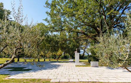
Visitors can walk between olive yards and vineyards and descend from the top of the Ankaran’s peninsula to the cliff, which at Debeli rtič descends steeply into the sea.
The wider area of Debeli rtič has been declared a Landscape Park in June 2018.
Debeli rtič lies at the far end of the Ankaran peninsula. Due to its geomorphological, geological, hydrological, zoological and botanical diversity, it is considered a natural value of local and national importance. It is also included in the European Network of Protected sites Natura 2000.
Many autochthonous plants cover the cliff walls and the rocky seabed hosts many marine organisms, due to the shallowness of the sea and good illumination. The seabed is covered with typical algae or, on sand, with seaweed cymodocea, that hide numerous animals: Sulphur sponge, waxy sea anemone, oyster, edible mussel, pen shell, banded dye-murex, sea urchin, sea cucumber, small crab and others.
Due to the smooth passage of the flysh embankment to the seabed, it has a highly extended infralittoral belt (the border area between the sea and the land), which represents something special in the Slovenian sea.
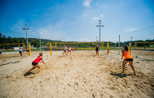
Debeli rtič is also known for the Youth and Health Resort of the Slovenian Red Cross. The idea of a health and children resort started and was carried out by volunteers in 1955.
Location
DirectionsMapca
lalala


